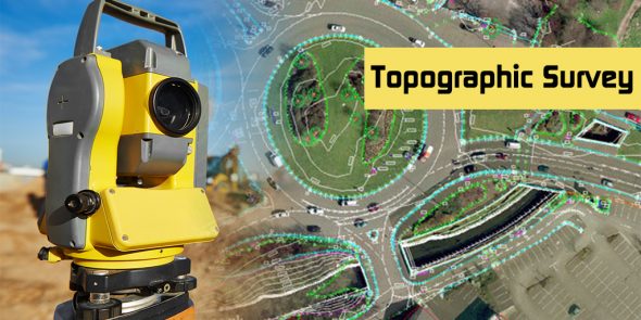
Topographic Survey
Conducting a topographic survey is essential for both existing and new projects. This survey involves gathering detailed information about the natural and man-made features of a specific area, including the elevation, contours, and physical characteristics of the land. By accurately mapping the terrain, a topographic survey provides valuable data that helps in the planning and design of various projects, such as infrastructure development, construction, and land development. It enables engineers, architects, and planners to make informed decisions based on the existing conditions of the site, ensuring that the project is well-suited to the environment and minimizing potential risks or challenges. Our services includes but not limited to the following.
- Precise levelling, Building Survey, Setting Out, EDM traversing and Vertical controls using Total Station.
- Topographic survey to locate existing Facility levels & as-built dimensions.
- Convert survey details to CAD drawings.
- Mark site control points (BM).
- Survey points to locate new construction & site development
- Verification of completed work.

